Events
Partners
Background:
Since 1985, FAO and the Global Fire Monitoring Center (GFMC) have collaborated in forest fire management, promoting the Integrated Fire Management (IFM) approach, which includes Community-Based Fire Management.
Fire Hub Establishment (2023):
Launched by FAO and UNEP in May 2023 during the 8th International Wildland Fire Conference, the Global Fire Management Hub aims to strengthen countries’ capacity to implement IFM and reduce fire impacts on people, landscapes, and climate.
Key Functions of the Fire Hub:
- Apply the 5Rs: Review, Risk Reduction, Readiness, Response, Recovery
- Support integrated landscape and fire policy development
- Serve as a knowledge and training center
- Strengthen global networks and cooperation
- Facilitate funding instruments for fire management actions
Major Activities:
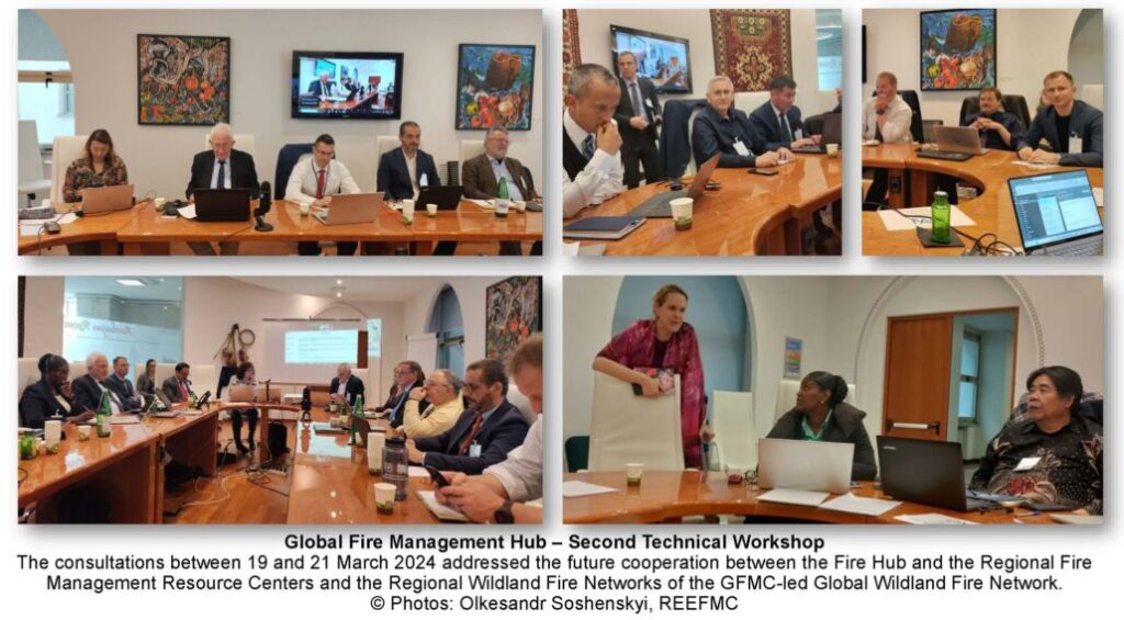
- Technical Workshops 1–3 (2023–2024): Concept development, roadmap design, and GFMC network integration
- COFO-27 & World Forestry Week (2024): Launch of the 2nd edition of Voluntary Guidelines for Integrated Fire Management
- Steering Committee Meeting (January 2025): Initial consultation on Fire Hub Framework
- 1st Fire Hub Plenary (June 2025): Global meeting to shape the future direction of the Fire Hub
UN Recognition:
UN General Assembly Resolutions (78th and 79th sessions) acknowledged the Fire Hub as a key initiative in global disaster risk reduction related to wildfires.
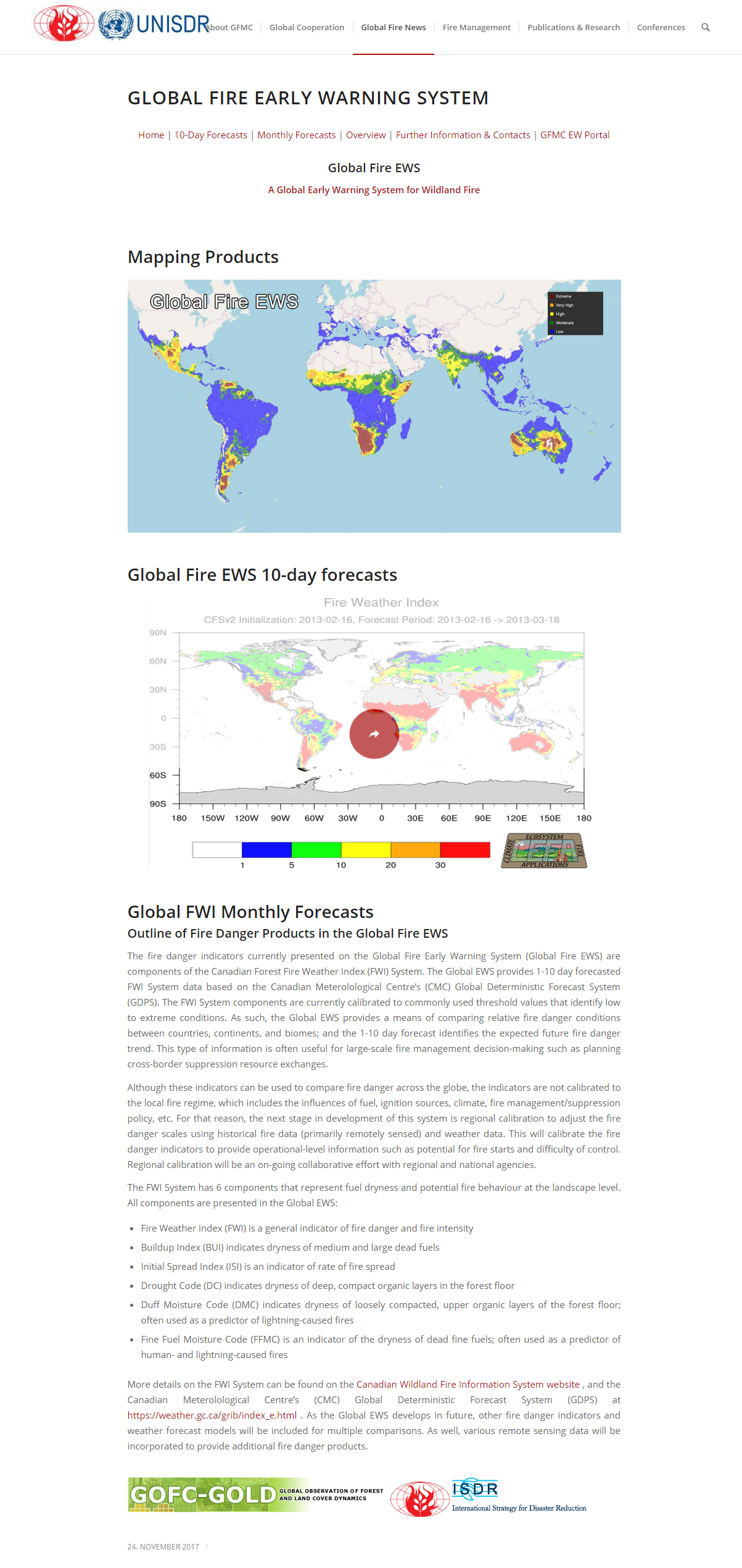
Global FWI Monthly Forecasts
Outline of Fire Danger Products in the Global Fire EWS
The fire danger indicators currently presented on the Global Fire Early Warning System (Global Fire EWS) are components of the Canadian Forest Fire Weather Index (FWI) System. The Global EWS provides 1-10 day forecasted FWI System data based on the Canadian Meteorological Centre’s (CMC) Global Deterministic Forecast System (GDPS). The FWI System components are currently calibrated to commonly used threshold values that identify low to extreme conditions. As such, the Global EWS provides a means of comparing relative fire danger conditions between countries, continents, and biomes; and the 1-10 day forecast identifies the expected future fire danger trend. This type of information is often used for large-scale fire management decision-making such as planning cross-border suppression resource exchanges.
Although these indicators can be used to compare fire danger across the globe, the indicators are not calibrated to the local fire regime, which includes the influences of fuel, ignition sources, climate, fire management/suppression policy, etc. For that reason, the next stage in the development of this system is regional calibration to adjust the fire danger scales using historical fire data (primarily remotely sensed) and weather data. This will calibrate the fire danger indicators to provide operational-level information such as a potential for fire starts and difficulty of control. Regional calibration will be an on-going collaborative effort with regional and national agencies.
Source: GLOBAL FIRE EARLY WARNING SYSTEM
Regional Actors
Information and Publications
International Wildfire Preparedness Mechanism (IWPM)
Forest, Land Fires Reappear in Ria
Indonesia to Fight Against Forest Fires Starting Early This Year
Forestry Ministry Hopes no Forest Fire This Year
International Workshop on National Guidelines on the Protection of Forests Against Fire
SEA FIRES NEWS
The claims or redress harm on a scientist of forest and land fires by the company destroyer environment
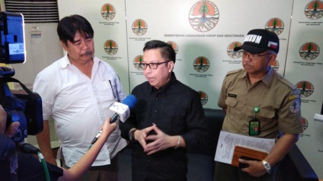
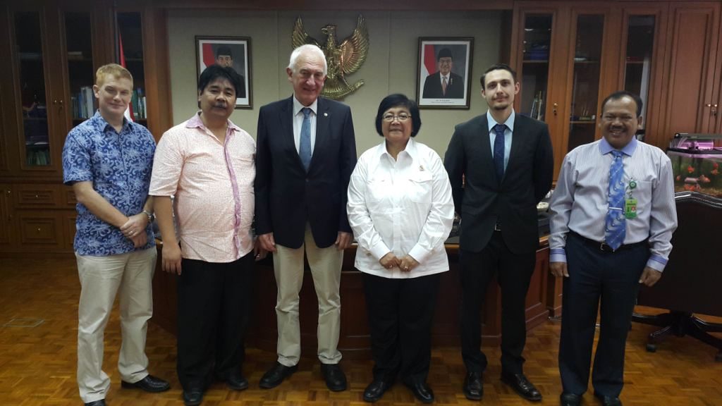
Prof. Bambang Hero Saharjo (Left) and Guru Besar IPB Bambang Hero (Kiri) and Director General of Law Enforcement – MoEF (Center)
Pic: Medcom.id/Fachri Audhia Hafiez
Video Link: http://video.metrotvnews.com/metro-pagi-prime-time/ybDz7wPK-perlawanan-perusahaan-perusak-lingkungan
SEA FIRES BULLETIN (BULLETIN RFMRC – SEA)
Edition 1 July-December 2017 (Sub English and Sub Indonesian)
Edition 2 January-June 2018 (Sub English and Sub Indonesian)
Global Wildland Fire Network Bulletins
Since 2005 the GFMC is publishing one or two Global Bulletins annually. Focus since 2011 is the publication of the Annual Global Wildland Fire Fatalities and Damages Reports:
Selected Conference Declarations
The GFMC and its precursor institution – the Fire Ecology Research Group – have convened a large number of international conferences that addressed selected topics on vegetation fires. Some conferences resulted in the release of declarations:
Conclusions of the UNECE/FAO Regional Forum on Cross-boundary Fire Management (United Nations in Geneva, 28-29 November 2013) (PDF)
Resolution of the International Congress “Forest Fire and Climate Change: Challenges for Fire Management in Natural and Cultural Landscapes of Eurasia” (Novosibirsk, Russian Federation, 11-12 November 2013) (Russian and English; PDF)
Recommendations of the “Second International Fire Management Week” (Krasnoyarsk Krai, Russian Federation, 17-23 June 2013) (Russian and English; PDF)
Recommendations of the “First International Fire Management Week” (Krasnoyarsk Krai, Russian Federation, 1-10 September 2012) (Russian and English; PDF)
Freiburg Declaration on Tropical Fires (released by the participants of the Third International Symposium on Fire Ecology “Fire in the Tropical Biota” (Freiburg, 16-20 May 1989) (PDF)
19 – 21 January 2018
Internal Meeting RFMRC – SEA @ Savero Hotel, Bogor – West Java
|
|
| |
10 February – 31 May 2018
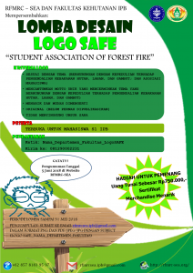
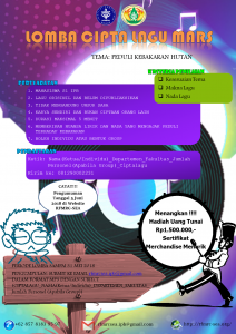
Competition on the Logo and Official Song of Student Association of Forest Fire (SAFE). SAFE is designed as on Organization for Students who take their interest on Forest, Land, and Peat Fire Management and Prevention in Indonesia.
10 February – 31 May 2018
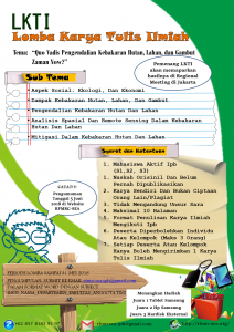
Contest of scientific papers on Forest, Land, and Peat Fires in Indonesia for IPB students to enhance their scientific writing skill and to broaden student networking.
14 February 2018
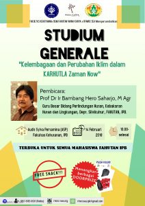
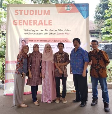
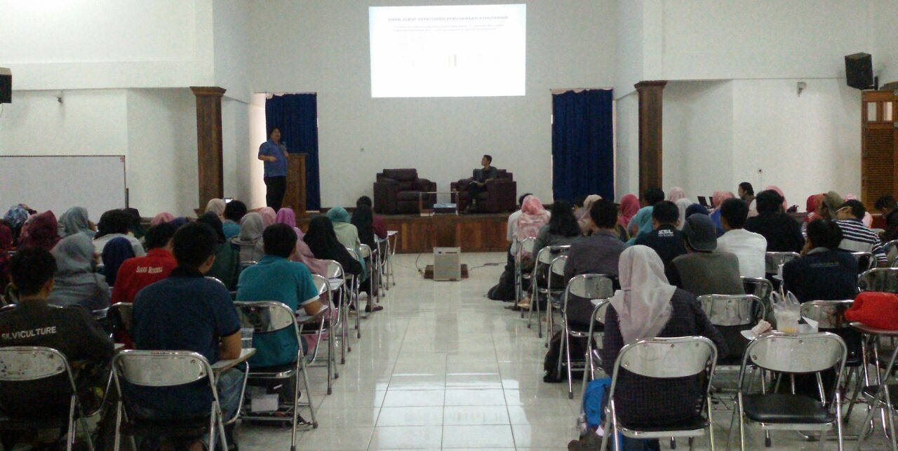
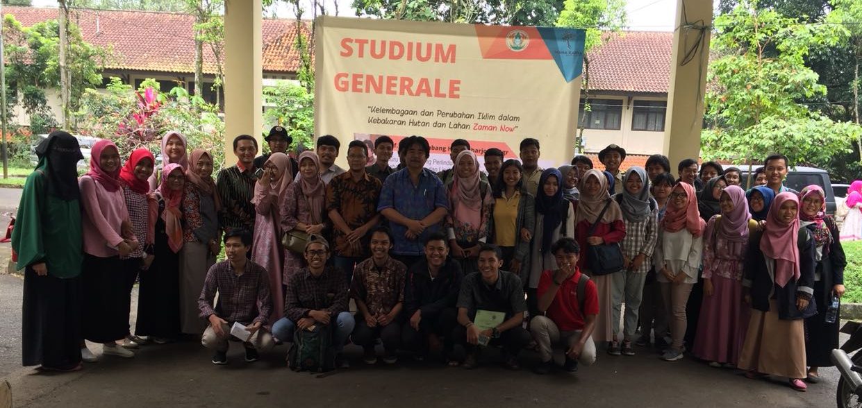
Student Studium Generale on Forest and Land Fires Prevention @Sylva Pertamina Auditorium, Faculty of Forestry IPB, Bogor – Indonesia.
| |
|
01 March 2018
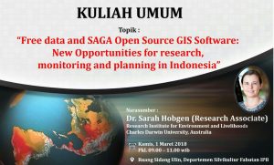
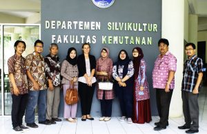
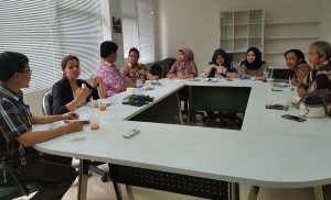
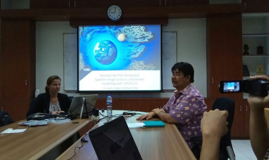
Student Studium Generale on “Free data and SAGA Open Source GIS Software: New Opportunities for Research, Monitoring, and Planning in Indonesia” @Ulin Meeting Room, Departement of Silviculture, Faculty of Forestry IPB, Bogor – Indonesia.
| |
|
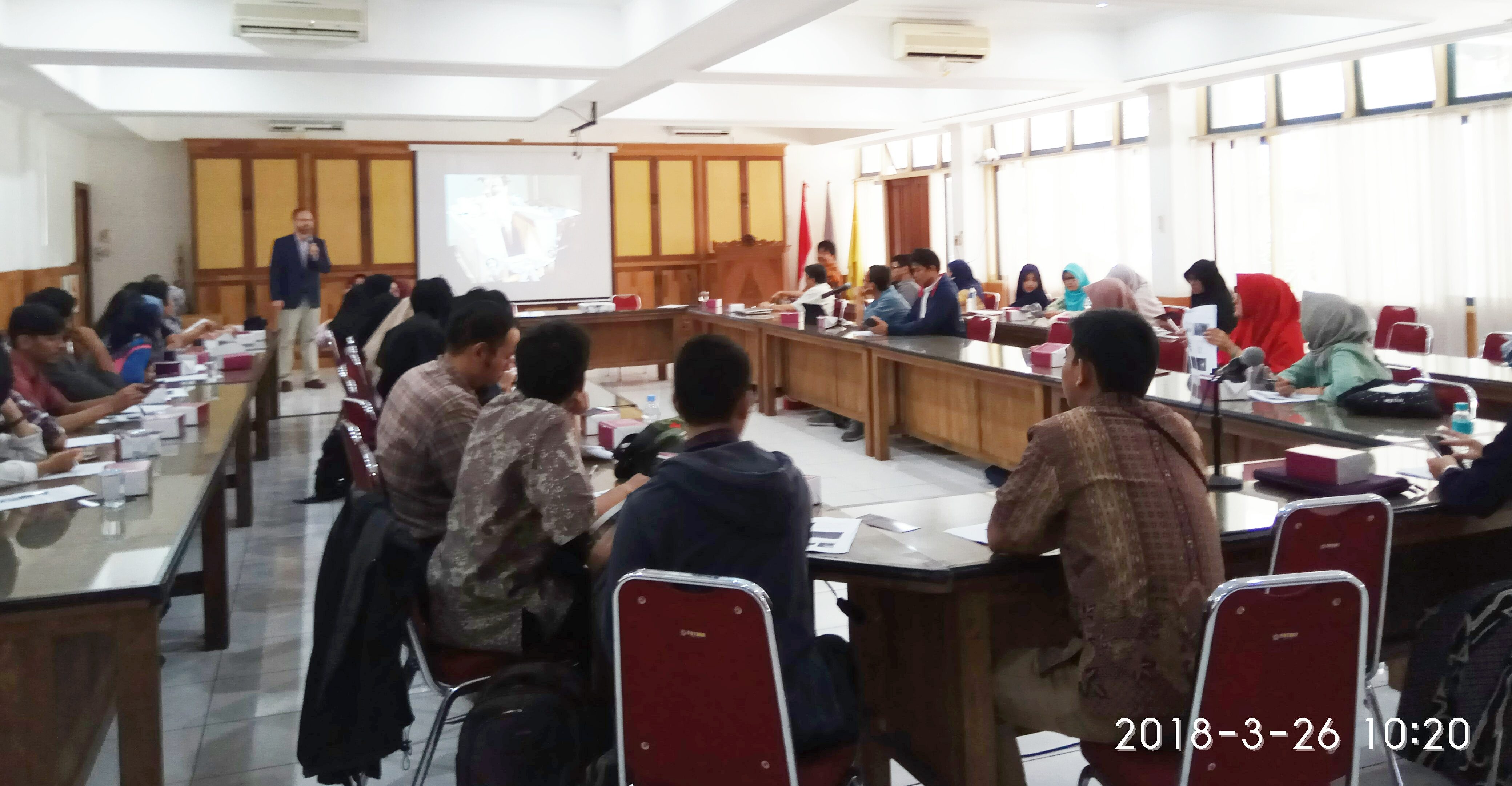
26 March 2018
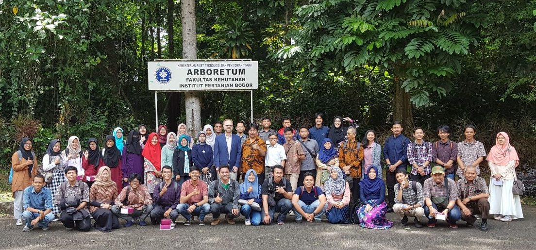
Student Studium Generale on “Observing Indonesian Air Pollution from Space” @Court Sylva Room, Faculty of Forestry IPB, Bogor – Indonesia.
|
|
6 – 7 June 2018
Regional Round Table and Consultation “Enhancing Regional Cooperation in Fire Management in South East Asia”
Link: https://rfmrc-sea.org/regional-round-table-meeting-and-consultation/
12 October 2018
Meeting of the Eurasia Team of Specialists on Landscape Fire Management, GFMC, Freiburg, Germany.

13 October 2018
Meeting of the UNISDR Wildland Fire Advisory Group (WFAG) in conjunction with the meeting of the International Liaison Committee (ILC) and the Brazilian Conference Organizing Committee for the 7th International Wildland Fire Conference; GFMC, Freiburg, Germany.
Joint WFAG-ILC 2018 Meeting Agenda (PDF, 0.3 MB)

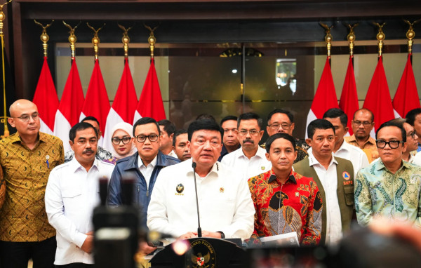
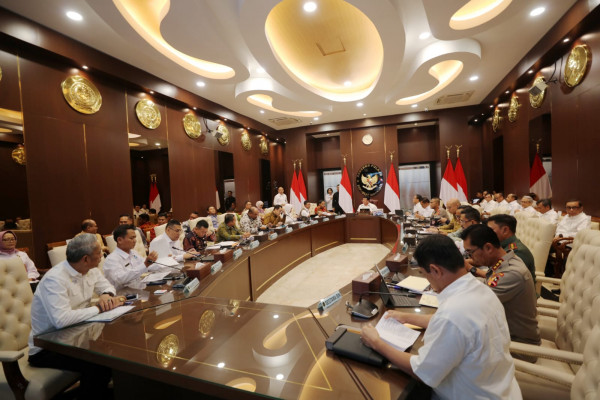
Uniting for Forest Protection: Government Launches Coordination Desk for Wildfire Management
Published: 15 March 2025
The Indonesian government has launched the Coordination Desk for Forest and Land Fire Management, led by key national agencies including BNPB, the Ministry of Environment and Forestry, TNI, and the National Police, as a proactive measure to prevent and mitigate wildfires ahead of the 2025 dry season. With hotspots already emerging and peak fire risk expected between June and September, the desk aims to enhance cross-sectoral collaboration and promote long-term strategies such as peatland management, early warning systems, and community engagement. Highlighting past fire crises and recent progress—a 77% reduction in burned areas since 2019—the initiative reflects a national commitment to achieving zero wildfires and addressing broader environmental challenges like climate change, pollution, and biodiversity loss.
Next Article: https://rfmrc-sea.org/uniting-for-forest-protection-government-launches-coordination-desk-for-wildfire-management/
The Information Forecast
Source Link: https://iri.columbia.edu/our-expertise/climate/forecasts/
Published: May 19, 2025
A monthly summary of the status of El Niño, La Niña, and the Southern Oscillation, or ENSO, based on the NINO3.4 index (120-170W, 5S-5N)
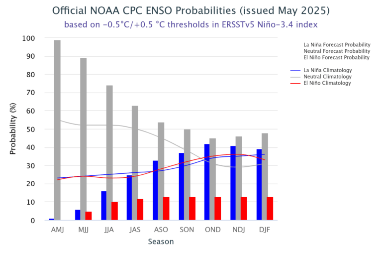
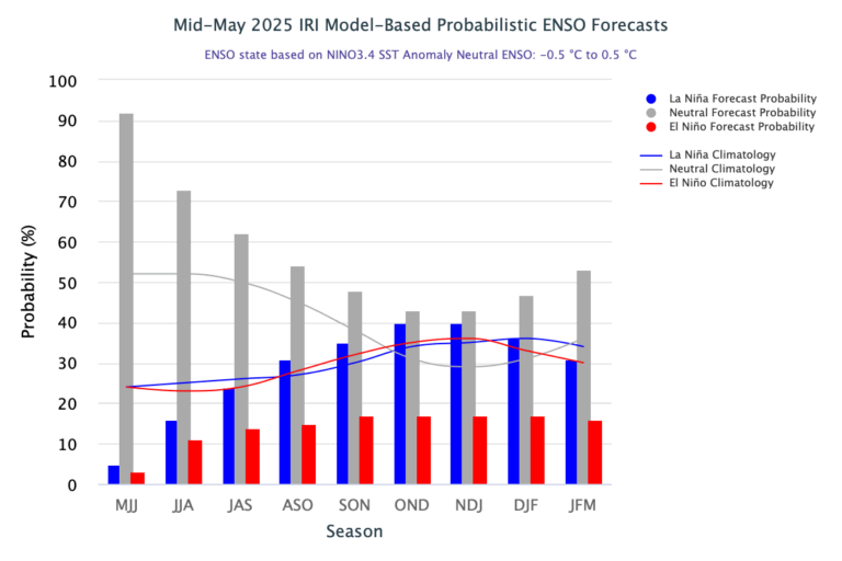
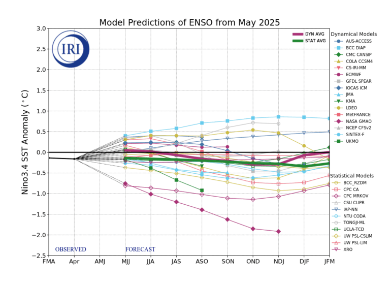
As of mid-May 2025, the equatorial Pacific is in an ENSO-neutral state, with sea surface temperatures in the Niño 3.4 region that are close to average (-0.10°C for April 2025). The IRI ENSO plume forecast indicates a high probability (92%) of ENSO-neutral conditions for May to July 2025. These neutral conditions are expected to continue through August to October 2025, with probabilities remaining above 50%. For later forecast seasons (until Jan–Mar 2026), ENSO-neutral conditions remain the most likely outcome, though probabilities decrease to the 40% range. During the forecast period, neither El Niño nor La Niña shows a strong preference, though La Niña have slightly higher chances as compared to El Nino.
Figures 1 ((the official CPC ENSO probability forecast) and 3 (the objective model-based IRI ENSO probability forecast) are often quite similar. However, occasionally they may differ noticeably. There can be several possible reasons for differences. One is the human forecasters, using their experience and judgment, may disagree to some degree with the models, which may have known biases. Another reason is the models are not run at the same time that the forecasters make their assessment, so that the starting ENSO conditions may be slightly different between the two times. The charts on this Quick Look page are updated at two different times of the month, typically about a week apart, with the IRI forecast run later. Also note that the CPC forecast starts on the previous season while the IRI forecast starts on the current season.
Click on the for more information on each figure.
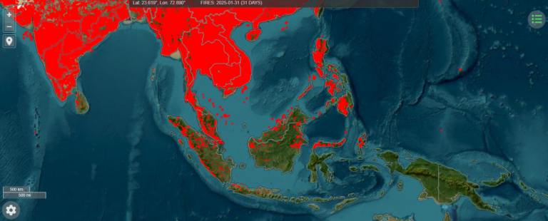
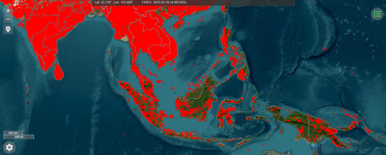
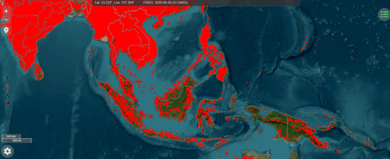
The Information Hotspot in Southeast Asia Countries
Institutional Setting
The RFMRC-SEA was established in 2017 by the Faculty of Forestry – IPB University, Bogor – Indonesia, with the assistance of the Global Fire Monitoring Center (GFMC) and sponsorship of the German Federal Ministry for Food and Agriculture. The RFMRC-SEA is a Sendai Voluntary Commitment and serving the UNISDR International Wildfire Preparedness Mechanism.
