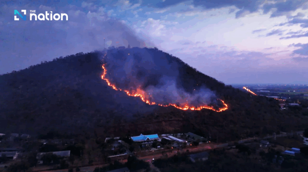
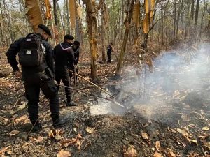
Fire fighters containing forest fires in Ob Khan national park in Chiang Mai
March 5, 2022
Chiang Mai Provincial Governor Prachon Prachsakul has ordered local officials and relevant agencies to assist in containing the spread of forest fires at Ob Khan national park in the province.
About 35 fire fighters from the national park and the Mirror Foundation, who have been battling the fires, have complained that there are not enough of them to cope with the fires, which have been burning for more than three days and stretch for about three kilometres through the forest in the park.
Without timely reinforcements, they have expressed concern that the entire 6,000 hectare forest may be wiped out.
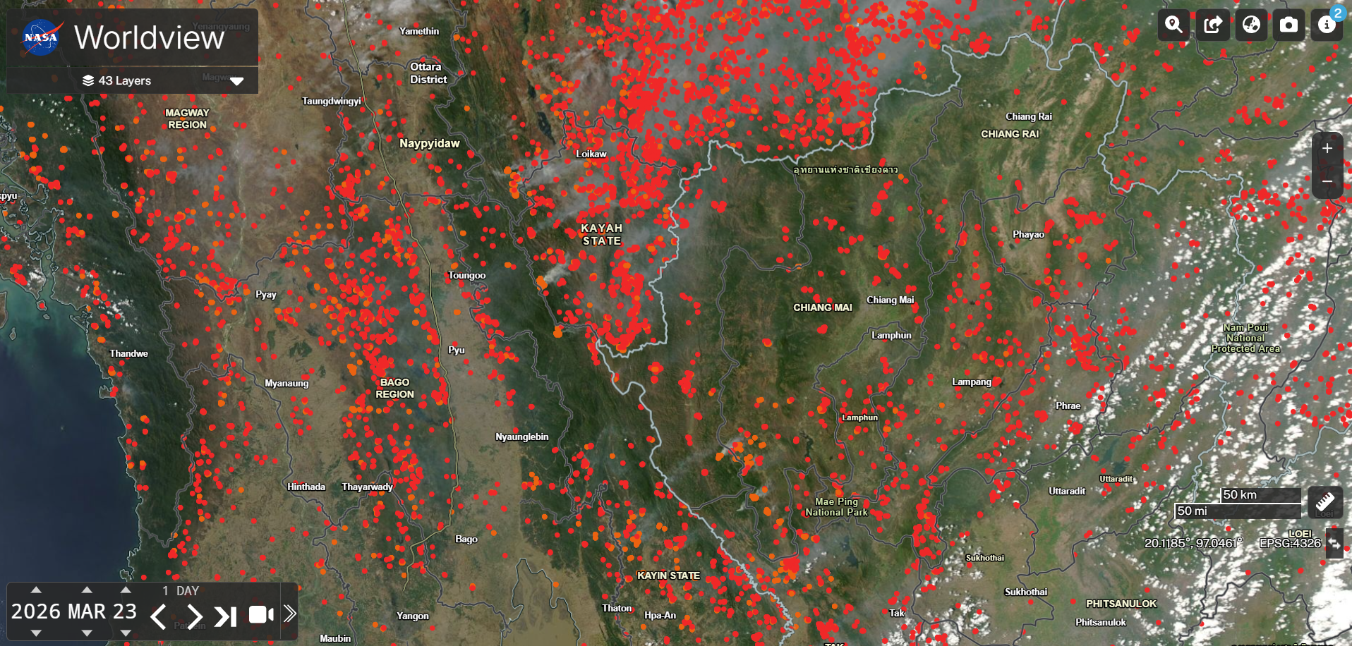
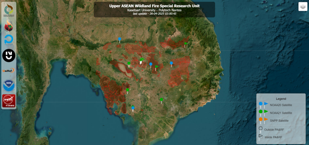
The line of fires is located far from communities, but satellite images have detected many hot spots, many of them close together.
Nipaporn Paisarn, the national park chief, said that damage to the forest cannot be assessed yet.
According to the governor, the fires are concentrated in four locations in the park and men from Hang Dong district office have already been sent to battle the fires.
Meanwhile in the neighbouring province of Mae Hong Son, the level of PM2.5 dust in the atmosphere is beyond safety limits due to fires in the province and in Myanmar.
2,000 hot spots have been detected in Myanmar and 800 in Mae Hong Son from satellite images.
Most fires in Thailand’s northern provinces were man-made, when farmers burn farm waste or when villagers set fires in forests to help them hunt for wildlife.
Link: https://www.thaipbsworld.com/fire-fighters-containing-forest-fires-in-ob-khan-national-park-in-chiang-mai/